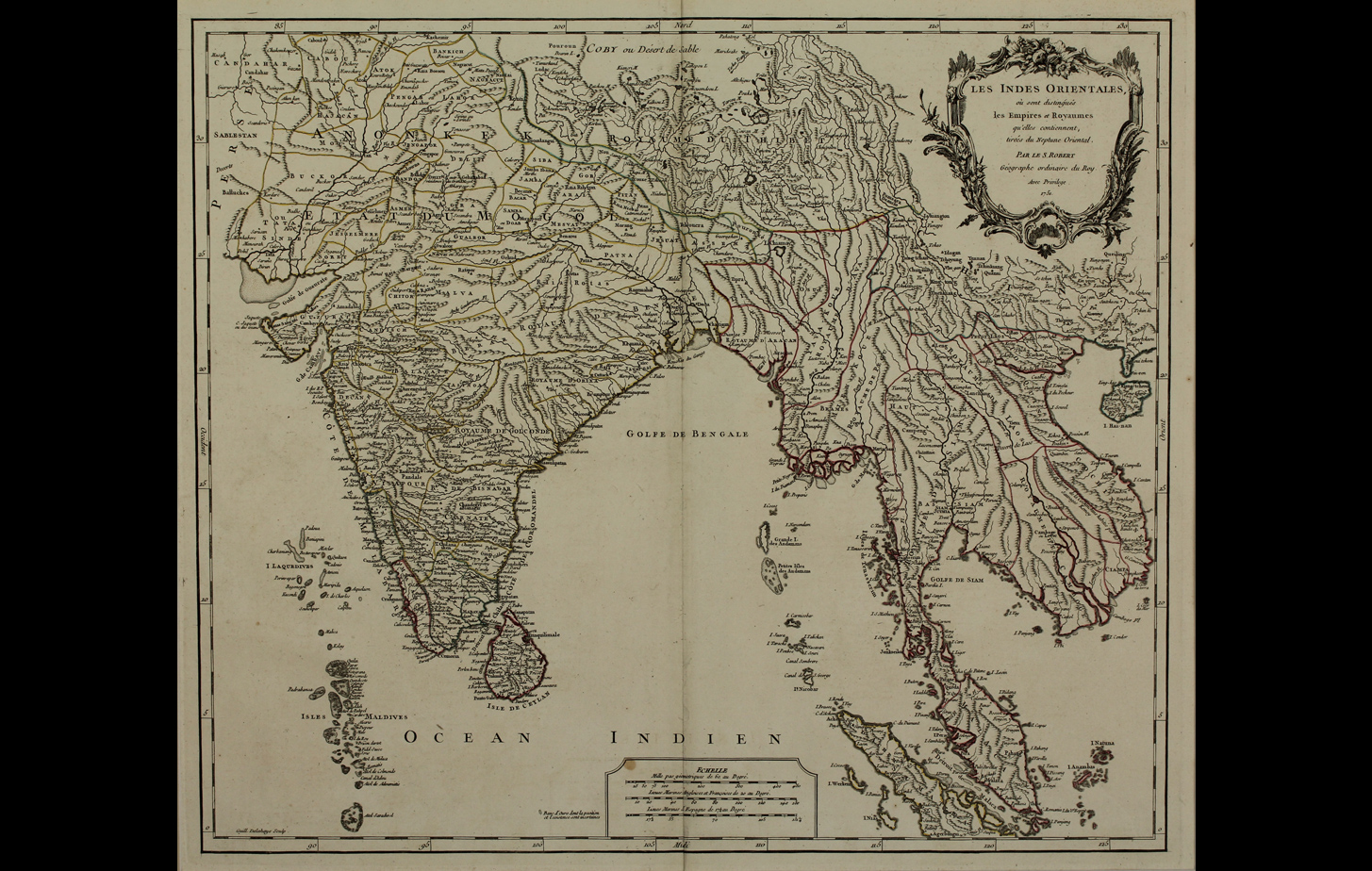
Gilles Robert de Vaugondy, along with his son Didier, were map publishers, engravers and cartographers active in the Paris of mid-18th century. They are well-known today for the detail and accuracy of their maps, where they excellently used all material and resources available to produce the most “fantasy-free” maps possible..
Title
Les indies Orientales, 1751Period
1751Artist
Guill. DelahayeCartographer
Gilles Robert De VaugondyMedium
Print on paperDimensions
(with mount) H: 76.3 cm x W: 100.5 cm; (without mount) H: 50.7 cm x W: 59 cmAccession No.
2015.4.76Genre: Cartography