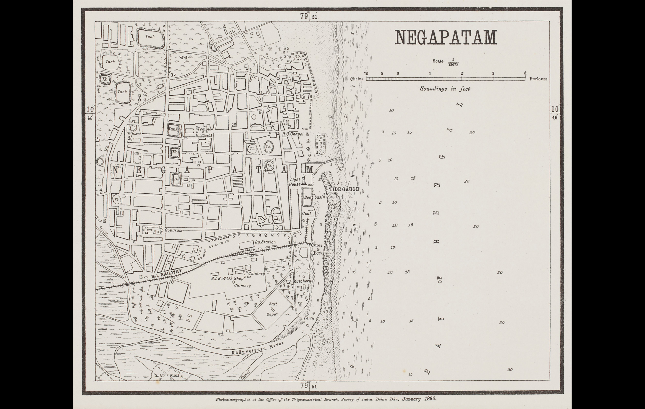
This detailed map of Nagapattinam (previously spelt, Negapatam) was created by the Office of the Trigonometric Branch, Survey of India, Dehra Dun.
The map gives a complete overview of the city, highlighting its water tanks, churches, and temples. Owing to the enormous endeavours of the Survey of India, precision in documenting became more important as mapping advanced by the 19th century. Negapatam, located in eastern Tamil Nadu, has a long history. The port facilitated prosperous trade with Europe during the Classical Greek and Roman eras. Through the course of the 16th and 17th centuries, the city became a significant Portuguese and later Dutch colony.
To read more on early maps of India, click here.
Title
NegapatamPeriod
1896Publisher
Trigonometrical Branch, DehradunDimensions
H: 22.8 cm x W: 28 cmAccession No.
2017.14.28Genre: Cartography