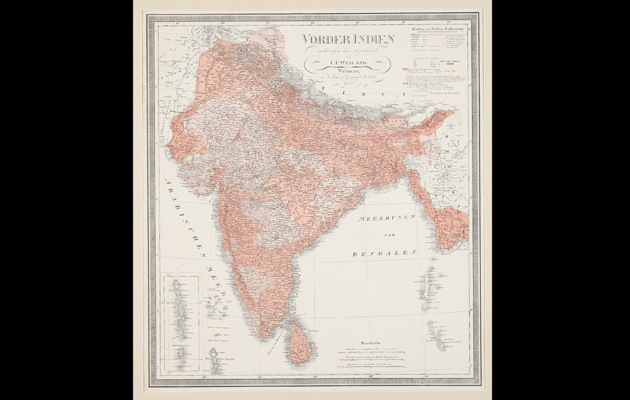
This map, Vorder Indien, depicts the various European territories in India in 1857. British territories are marked in light red and French and Portugese territories in white. Colour is important in communicating ideas on a map, but the use of it is more recent. For long, maps were made in black ink and printed on white paper. But by the 18th century, coloured outlines became popular, and in the 20th century, the norm. In the 19th century, it was the convention to colour British territories in light red with dark red borders.
This map is by Carl Ferdinand Weiland, who was a Dutch cartographer, working in the early 19th century and it was published by the Weimar Geographical Institute. This is an engraved map, with hand-coloured outlines and hand-painted in some regions to segregate areas for statistical and administrative purposes. The inset at the bottom left shows the islands of Maldives.
Title
Vorder IndienPeriod
1857Cartographer
CF WeilandDimensions
62.2 cm x W: 55.8 cmAccession No.
2015.4.78Genre: Cartography