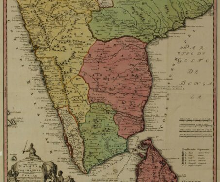

Indian maps, myths & travel legends
In conversation with professional geographer Dr Manosi Lahiri about the ways in which travellers have helped to draw the map of India

In conversation with professional geographer Dr Manosi Lahiri about the ways in which travellers have helped to draw the map of India
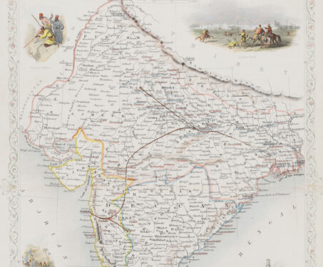
This is a decorative map of British India published in 1851 by John Tallis and Company, renowned for their intricate maps, prized for their decorative vignettes showing the people and landscape of the region. In this map the Madras, Calcutta, and Bombay Presidencies are indicated, along with planned railway lines. While the first passenger train… Read more »
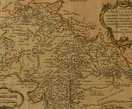
This map titled ‘Carte De L’Inde En Deca Du Gange Comprenant L’Indoustan &C.’, produced by a French cartographer Jacques Nicolas Bellin (1703-1773) was published in Petit Atlas Maritime, a part of a five-volume atlas published by him. It illustrates Northern region of the subcontinent of modern-day India, Afghanistan and Pakistan. By the late eighteenth century,… Read more »
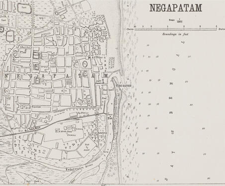
This detailed map of Nagapattinam (previously spelt, Negapatam) was created by the Office of the Trigonometric Branch, Survey of India, Dehra Dun. The map gives a complete overview of the city, highlighting its water tanks, churches, and temples. Owing to the enormous endeavours of the Survey of India, precision in documenting became more important as mapping… Read more »
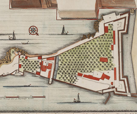
This is a ground plan of the Kannur Fort in Kerala. The map is attributed to François Valentijn (1666-1727), a Dutch Minister and employee of the VOC (Dutch East India Company). Don Francesco de Almedia, the first Portuguese Viceroy of India, constructed the Kannur Fort, also known as St. Angelo’s Fort, in 1505. For more… Read more »
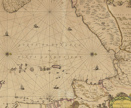
This map, made by Johannes Janssonius (1588-1664), a Dutch cartographer, illustrates the Bay of Bengal in detail and is one of the oldest sea maps. While it may appear disorienting, the inclusion of ‘Orixa’ and ‘Ceylon’ aid in establishing orientation, with Ceylon to the left of the map representing the south. The Dutch East India… Read more »
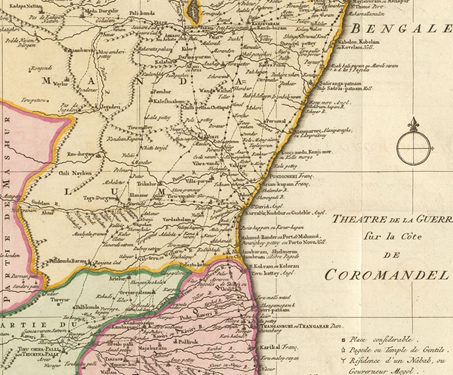
This map titled ‘Theatre de la Guerre sur la Cote de Coromandel’ [Theatre of War, on the Coromandel coast] was produced by Jakob van Schley (1715-1779) in the mid 18th century. Both practically and ideologically, maps began to play an increasingly crucial role in realising European nationalist and imperialist objectives. The battles during the Carnatic wars… Read more »
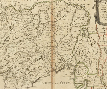
This map was made by Nicolas Sanson (1600 – 1667) in 1654 and published in 1697. In comparison to his Dutch contemporaries, Nicolas Sanson (born in Abbeville, France) is considered the pioneer of the French school of cartography, which revolutionised map-making based on precision, scientific and historical narratives. He produced more than 300 maps in… Read more »

This early 16th-century portrayal of Asia by German Cosmographer Sebastian Münster is an example of a depiction of the continent based on Ptolemy’s writings and its further interpretations. The map illustrates a portion of India, Bangladesh, Pakistan, Sri Lanka, and the Indian Ocean. It extends north to the origin of the Indus and Ganges and… Read more »
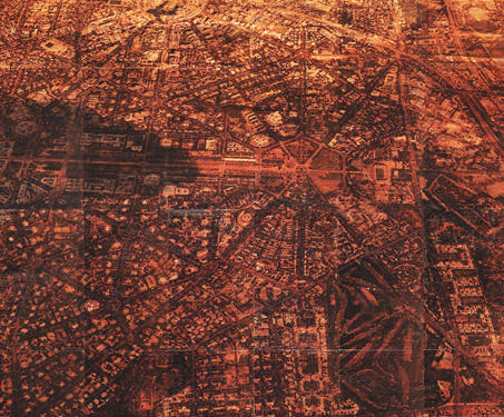
“Cloud over the landscape” is a deep engagement with the subjectivity of maps and their inherent function as history-making devices.Using interventions like painting, erasing and burning the photographic image before it is transferred onto wood, artist Saju Kunhan creates room for accidents, mistranslations and loss of information. In elaborating on his method in the catalogue… Read more »
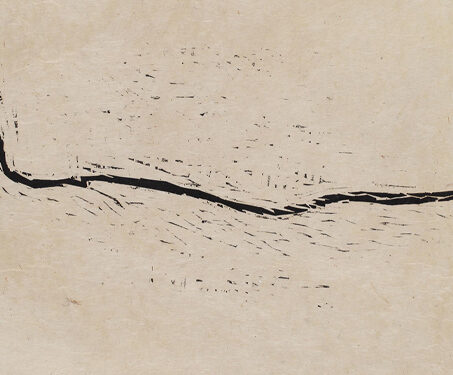
This composition is part of Zarina Hashmi’s (1937-2020) series of woodcut prints. Delhi III is part of Zarina Hashmi’s celebrated Delhi series. This striking woodcut shows the river Yamuna, a lifeline of her beloved city. The artist drew the river from memory, fashioning it as geographic border. Witness to the horrors of the India-Pakistan partition… Read more »
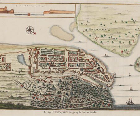
According to the prevailing view of cartography experts, maps can be categorised into two types: topographic or general maps, which might help you find your way around an area, and thematic maps, which serve to highlight specific features or a particular event, for eg, a battle plan. Regardless of their type, all maps tell a… Read more »
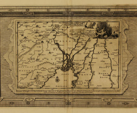
Poring over beautiful maps from the 17th, 18th and 19th centuries from our cartography collection, we explore the art and science that went into the evolution of this discipline
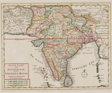
Using 17th, 18th and 19th century maps from the Sarmaya collection, let’s look at how the boundaries of the Indian subcontinent evolved in response to European imperialism
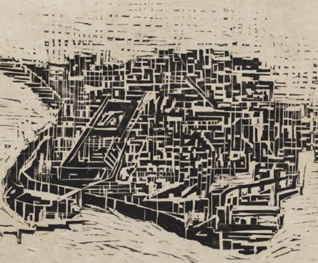
Witness to the horrors of Partition as a child, Zarina dedicated her decades-long career to exploring the idea of home and belonging, and the lingering pain of displacement
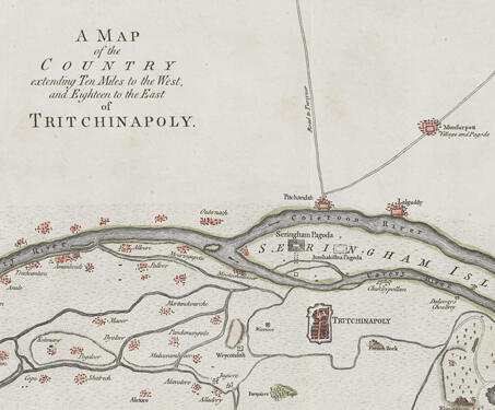
This map titled, A Map Of The Country Extending Ten Miles To The West, And Eighteen To The East Of Tritchinapoly, was created by cartographer and engraver Thomas Kitchin. Trichinopoly was a central backdrop to the Carnatic wars in mid 18th century India. The Seven Years’ War interaction on the Indian subcontinent between 1757 to… Read more »
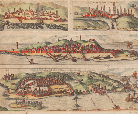
In the early history of map-making, the representation of cities was mostly done as sketches that were part of book illustrations or primarily bird’s-eye views. This composite view is part of Georg Braun and Frans Hogenberg’s, the Civitates Orbis Terrarum. The first volume of this landmark atlas was published in 1572, and its final volume… Read more »
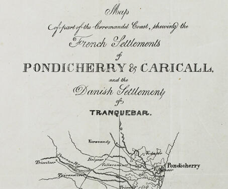
This topographical map of a part of the Coromandel Coast depicts Pondicherry and its surrounding territories. Tranquebar was a small town on the Carnatic Coast. Fort Dansborg at Tranquebar was established by the Danes in 1620 and sold to the British in 1845. The Danish East India Company lost out to the British, who cornered… Read more »
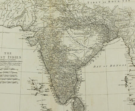
This historic paper map entitled ‘The East Indies including more particularly the British Dominions on the Continent of India’, by John Blair ; T. Kitchin, senr. sculpsit., was published by in 1773. It covers India, Sri Lanka, Bangladesh, Bhutan, Nepal, and portions of Maldives, Iran, Afghanistan, Pakistan, China, Burma, and Indonesia. The map shows features… Read more »
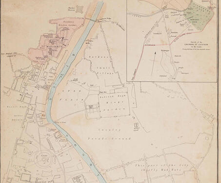
Edward Weller’s engraving is part of a series of maps from around the world published in the British Weekly Dispatch newspaper. The city of Lucknow is remembered as the site of prolonged siege during the 1857 Sepoy Rebellion. Weller’s engraving emphasises the dividing lines within the recently acquired settlement, highlighting the separation of the British… Read more »