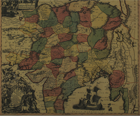

Map of the Mughal Empire
This map of Mughal India created by Matthew Seuter in 1745 is titled Imperii Magni Mogolis. The map charts out the extent of the Mughal Empire, extending to Persia and Kandahar (In the west) and Burma and Thailand (In the east). To the south it extends to the Malabar coasts and also points out the… Read more »
