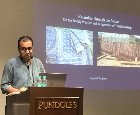
‘Kalamkari Through The Senses’ by Rajarshi Sengupta
A sensorial account of Kalamkari textiles, the masterfully crafted and brilliantly dyed cottons of southeastern India
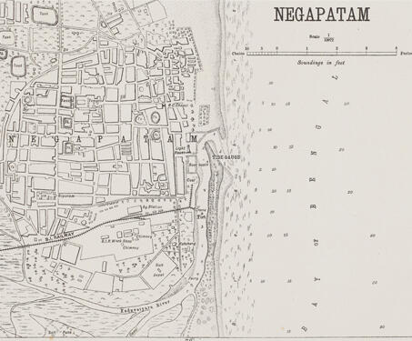
This detailed map of Nagapattinam (previously spelt, Negapatam) was created by the Office of the Trigonometric Branch, Survey of India, Dehra Dun. The map gives a complete overview of the city, highlighting its water tanks, churches, and temples. Owing to the enormous endeavours of the Survey of India, precision in documenting became more important as mapping… Read more »
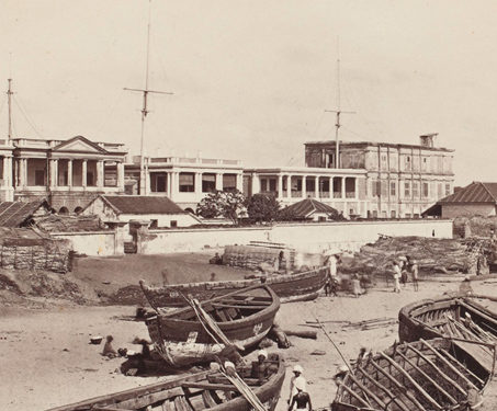
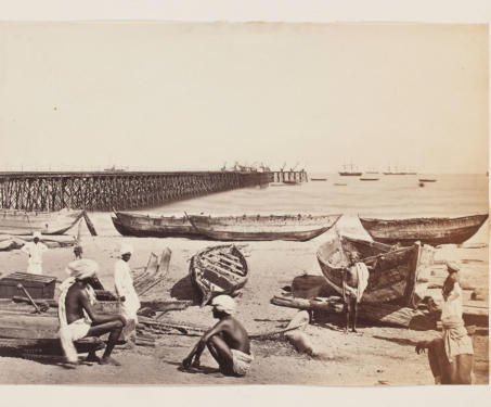
This photograph, by Francis Frith (1822-1898) & Co, is of the Madras Harbour. This vista of commercial facilities and warehouses on the Mardas beachfront illustrates Britain’s extensive commerce with the world. In 1639, a British trading corporation was granted permission to establish a factory on a three-mile-long stretch of the shore on the Coromandel. The Nayakas,… Read more »
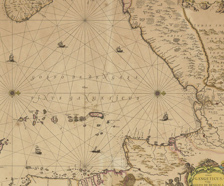
This map, made by Johannes Janssonius (1588-1664), a Dutch cartographer, illustrates the Bay of Bengal in detail and is one of the oldest sea maps. While it may appear disorienting, the inclusion of ‘Orixa’ and ‘Ceylon’ aid in establishing orientation, with Ceylon to the left of the map representing the south. The Dutch East India… Read more »
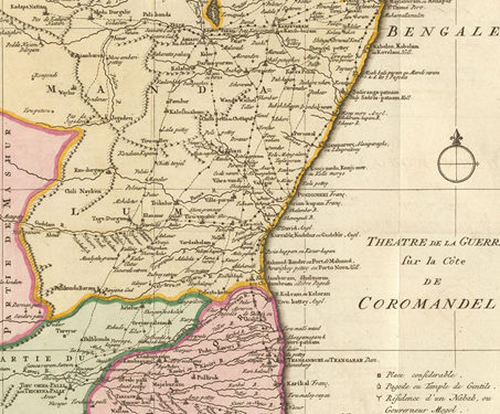
This map titled ‘Theatre de la Guerre sur la Cote de Coromandel’ [Theatre of War, on the Coromandel coast] was produced by Jakob van Schley (1715-1779) in the mid 18th century. Both practically and ideologically, maps began to play an increasingly crucial role in realising European nationalist and imperialist objectives. The battles during the Carnatic wars… Read more »
The history of the Madras Presidency is also the history of an embryonic nation finding its identity under colonial rule. We take you through some key moments, movements and personalities that shaped Madras and what would in time become India