Dutch East India Company

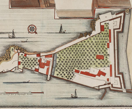
Cananoor (Plan of the Cannanore, Kannur Fort)

This is a ground plan of the Kannur Fort in Kerala. The map is attributed to François Valentijn (1666-1727), a Dutch Minister and employee of the VOC (Dutch East India Company). Don Francesco de Almedia, the first Portuguese Viceroy of India, constructed the Kannur Fort, also known as St. Angelo’s Fort, in 1505. For more… Read more »

Gateways to India

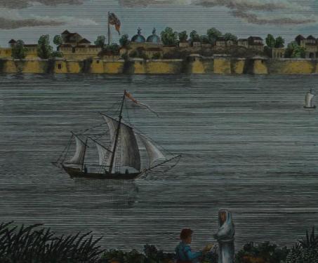
The sea is witness to much that defines India and our port cities are the sentinels of change. Let’s travel to some old and new ports through the Sarmaya collection of maps and engravings and imagine them at the peak of their power

Trails & Tales

According to the prevailing view of cartography experts, maps can be categorised into two types: topographic or general maps, which might help you find your way around an area, and thematic maps, which serve to highlight specific features or a particular event, for eg, a battle plan. Regardless of their type, all maps tell a… Read more »

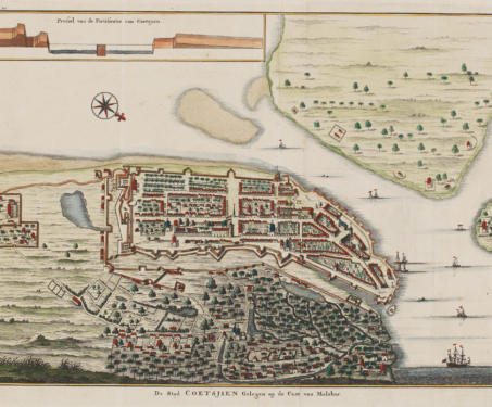
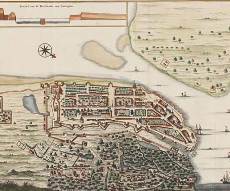
The City of Kochi located on the coast of Malabar

This map, whose title translates to The City of Kochi located on the coast of Malabar, was created in the early 1700s to help sea-traders travelling from other regions to Coetsjien (Kochi). The map was a hand-coloured copper engraving by Francois Valentijn, an explorer and naturalist from the Netherlands who wrote about the history of… Read more »