
Summer Holidays: The origin of India’s hill-stations
From the Himalayas to the Nilgiris, the mountain slopes of India are home to hill-stations. Built by the British, these were sanctuaries designed to get them through sickness and long summers

From the Himalayas to the Nilgiris, the mountain slopes of India are home to hill-stations. Built by the British, these were sanctuaries designed to get them through sickness and long summers
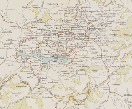
This map presenting the plan and surroundings of Ootacamund (Ooty) was published in the Constable’s Hand Atlas of India by John Bartholomew & Co. Located in Tamil Nadu at an altitude of 2,240 mt above sea level, Ootacamund (Ooty) flourishes in the Nilgiri hills. Because of its cooler climate, Ooty, was considered an oasis by… Read more »
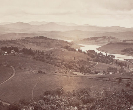
This view of the Ootacamund in Tamil Nadu was taken by Samuel Bourne (1834-1912) in 1869. The Madras government’s headquarters were relocated to Ootacamund from April to October during colonial rule, making it the summer capital after the 1870s. Because of its cooler climate, Ooty, positioned above the Indian plains, was considered an oasis by… Read more »
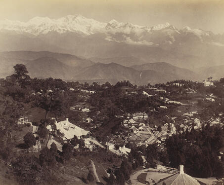
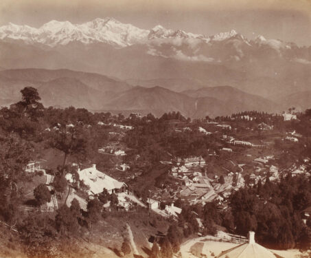
Well known as a summer resort during the British Raj, Darjeeling was one of the many hill-stations favoured to escape the Indian summer. But more importantly, it commanded entry to neighbouring regions, Nepal and Bhutan, serving as a strategically important outpost for the British. The word Darjeeling comes from ‘dorje ling’ which means a place or… Read more »
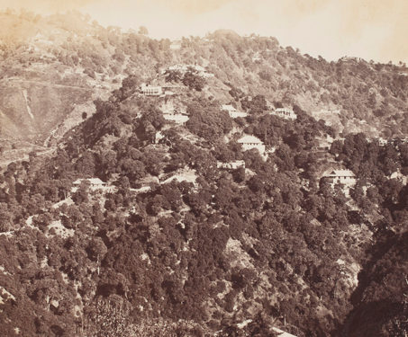
Located in the delightful mountainous region of present-day Uttarakhand, Landour in the early 19th century was a place where a long-term care facility (infirmary) was constructed for the British Indian Army. The area ultimately evolved into an important British cantonment. Thomas Rust first appears credited as a photographer in 1869 as an assistant to FW… Read more »
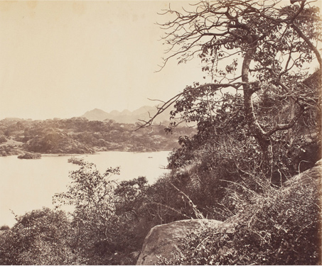
This is a photograph of the Nakki talao, Mount Abu, from James Burgess’ book ‘Photographs of Architecture and Scenery in Gujarat and Rajputana’ taken by Colin Murray in 1872. The hill station of Mount Abu is an important place of worship for Jain pilgrimages. It is a popular tourist attaraction, renowned for the group of… Read more »