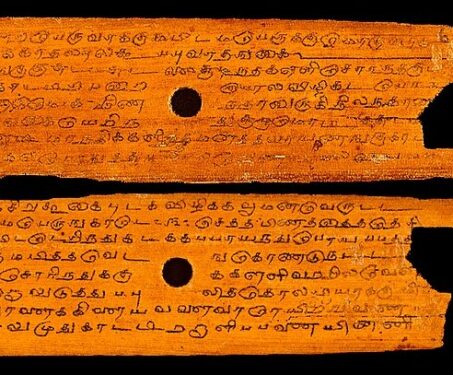

What is disruptive tech?
From minting money to printing books, and from taking photographs to making art, technology has dictated the evolution of many a human endeavour

From minting money to printing books, and from taking photographs to making art, technology has dictated the evolution of many a human endeavour
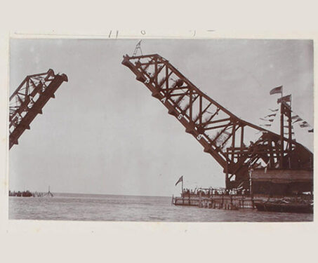
Test your knowledge about the earliest days of Indian railways and some milestone train journeys
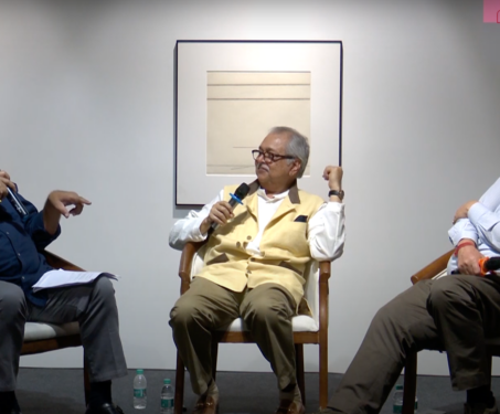
For this special edition of Sarmaya Talks, our founder Paul Abraham was in conversation with two of the three authors of A New History of India – From Its Origins To The Twenty-First Century, Prof. Rudrangshu Mukherjee and conservationist Toby Sinclair. Art historian Dr Shobita Punja lent her brilliant insights to A New History…:… Read more »
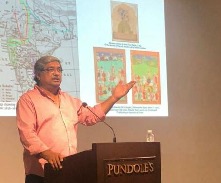
Sarmaya Founder Paul Abraham’s talk traces the routes taken by some fascinating travellers to the Subcontinent between the 16th and 19th centuries.
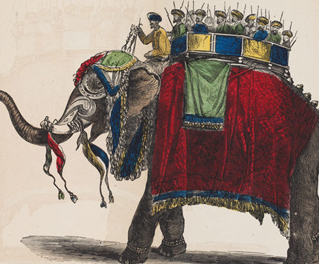
This book is a gazetteer compiled from the London Times Correspondence, by McCullock, and others containing geographical and statistical information on various aspects of India, including topography, water systems, religion, education, and arts and culture. Published in 1858, the book contains illustrations by British artists in India. The succeeding section of the book delves into… Read more »
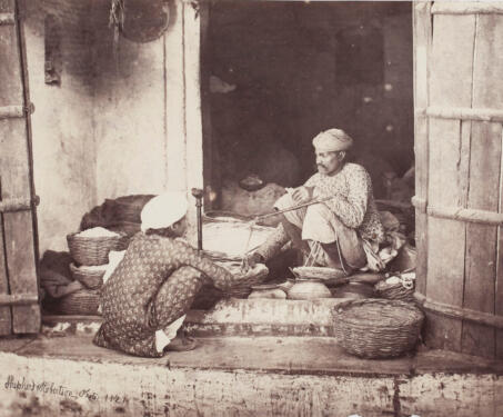
An initiation into the Sarmaya team involves the confrontation of and acclimating to certain books from our library. New ‘uns are told this is necessary reading meant to familiarise them with the genres of the collection. Each object inhabits a world that is resonant and multi-faceted and it’s impossible to know where to start. “Today… Read more »
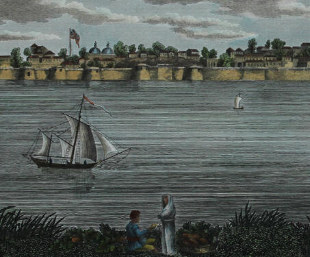
In the eighteenth and nineteenth centuries, company officials and professional artists played an important role in collecting and disseminating knowledge about India – an activity central to British imperialism. The discovery and definition of vegetation and fauna helped the Company’s mission of exploiting lucrative raw materials and furthering scientific research. Sketching was a quick and… Read more »
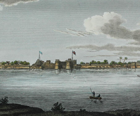
In the eighteenth and nineteenth centuries, company officials and professional artists played an important role in collecting and disseminating knowledge about India – an activity central to British imperialism. The discovery and definition of vegetation and fauna helped the Company’s mission of exploiting lucrative raw materials and furthering scientific research. Sketching was a quick and… Read more »
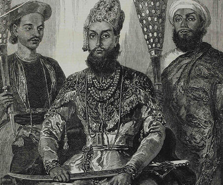
The 18th and 19th centuries saw many visits from British artists to India. They travelled everywhere and stayed with royal families. Before the lithographic press was invented, artists collaborated with engravers and woodcutters to get portraits engraved and then printed. This is an engraving of a portrait of Prince Fakhr-ud Din Mirza, the eldest son… Read more »
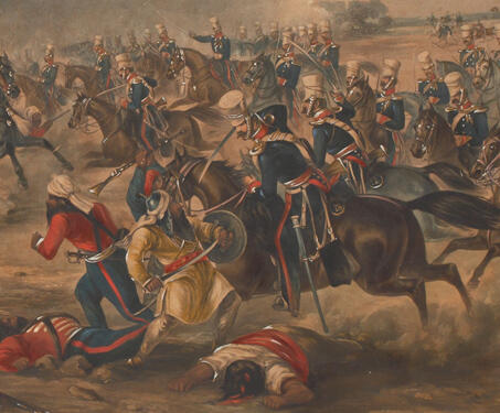
The Battle of Ramnagar which took place between British and Sikh forces during the 2nd Sikh War (1848-1849) incurred great losses for the British. Fought on the banks of the river Chenab in Punjab on 22 November 1848, the battle had resulted in an unambiguous victory for the Sikh forces. Yet, this engraving which depicts… Read more »
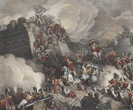
A mezzotint engraving produced by John Vendramini, this triptych illustrates three episodes from the final victory of the British over the Mysore state during the 4th Anglo-Mysore War (1798-99). Spanning nine feet across, it was created after a painting by Sir Robert Ker Porter, one of the first artists to depict this landmark episode in… Read more »
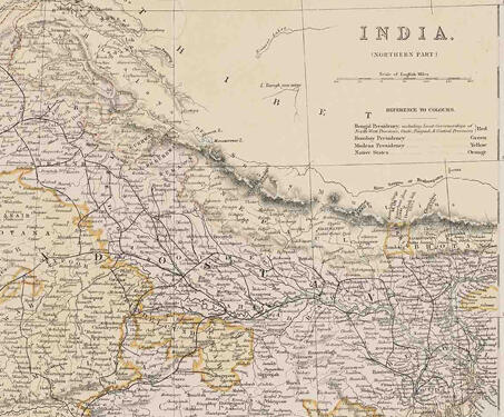
This map titled ‘India (northern Part)’ highlights the northern divisions of territory into presidencies and native states. The Bengal Presidency is marked in red including the lieutenant-governorships of the North-West provinces, Oudh, Punjab and Central Provinces; Bombay Presidency is marked in green, Madras in Yellow and native states in orange. After significant territorial acquisitions were… Read more »
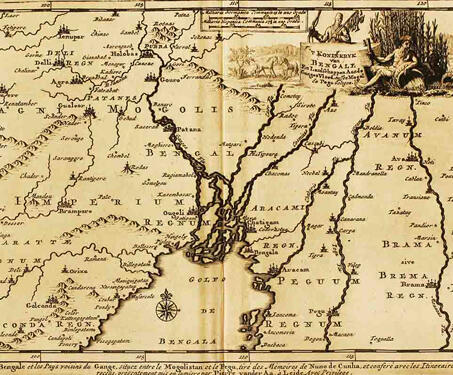
This map by Dutch publisher Pieter van der Aa is from his book, Royaumma de Grand Mogol, published in Paris in 1729. It is based on William Baffin’s map, ‘INDOISTANI A Description of East India, conteyninge th’ Empire of The Great Mogoll,’ that was published in 1619. Baffin’s map was the first modern map of… Read more »
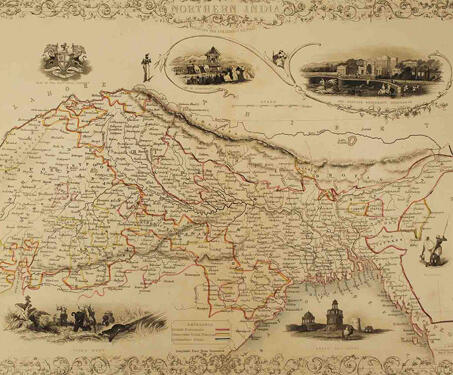
This is a decorative, mid-19th century map of Northern India drawn and engraved by J. Rapkin (vignettes by A. H. Wray & J. H. Kernot) and published in John Tallis’s Illustrated Atlas (London & New York: John Tallis & co, c.1851). The Illustrated Atlas, published from 1849 to 1853, was the last decorative world atlas.… Read more »

This map, Carte Du Bengale, is attributed to Arkstée & Merkus, but it is based on a map by French geographer Loui Brion de la Tour, who also made the Atlas Géneral, Civil et Ecclésiastique’, 1766, and ‘Atlas Général’, 1790-98. The eighteenth century was a time of conflict between the English and French in both… Read more »
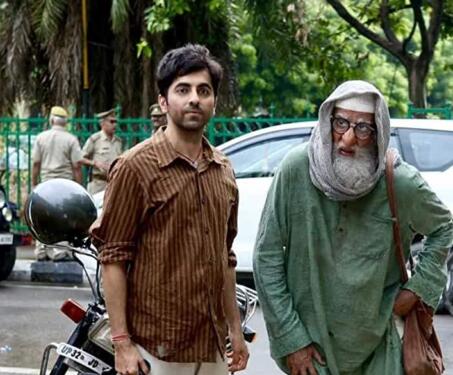
I am desperately late to the Gulabo Sitabo Netflix watch party (or Amazon in this case), but in my defence it was catching virtual dust while sitting at the very top of my watchlist and this is just how movie screenings and time work now. How ironic it is that this film was released in… Read more »

We’ve settled into routines now and a big part of that is just vegging out on the couch, in front of a screen or in bed with a novel. It feels like all we’ve done this lockdown is read and reread books we love and binge-watch shows on Netflix. And so we have a new… Read more »
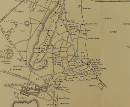
As the title suggests, this map is a plan of the siege of 1857 and was printed after the British recapture of Delhi, on 22nd September, 1857. This map shows Shahjahanabad prominently and precisely points to various battalions and batteries by their placement and their respective commands. The position of the British camp and the… Read more »
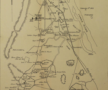
This map points out the locations and broad layouts of several ancient cities of Delhi, while emphasising that they were isolated and did not overlap. Tughlukabad, Old Delhi, Jahanpanah, Hauz Khas, Purana Kila and Shahjahanabad stand out. There is cause to believe that this map was published later, even though it is dated 11th September,… Read more »
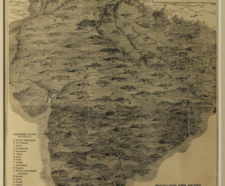
This map of India probably first appeared in The Illustrated London News in 1857. While some of the magazine’s illustrations were provided by artist-travellers or proprietors, others were contributed by men stationed abroad with specific designations, such as soldiers, naval officers and government officials on foreign stations. They became sources for visual information on India’s… Read more »