
Indian maps, myths & travel legends
In conversation with professional geographer Dr Manosi Lahiri about the ways in which travellers have helped to draw the map of India

In conversation with professional geographer Dr Manosi Lahiri about the ways in which travellers have helped to draw the map of India

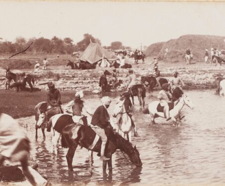
Along the ancient Silk Road and the historic Grand Trunk Road lay a series of rest-stops and inns called sarais where caravans of travellers, pilgrims and traders could break their journey

This early 16th-century portrayal of Asia by German Cosmographer Sebastian Münster is an example of a depiction of the continent based on Ptolemy’s writings and its further interpretations. The map illustrates a portion of India, Bangladesh, Pakistan, Sri Lanka, and the Indian Ocean. It extends north to the origin of the Indus and Ganges and… Read more »

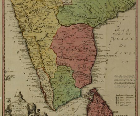
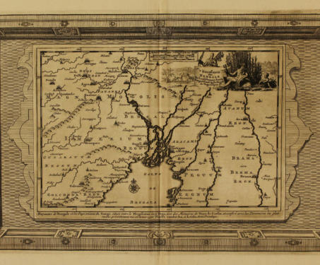
Poring over beautiful maps from the 17th, 18th and 19th centuries from our cartography collection, we explore the art and science that went into the evolution of this discipline

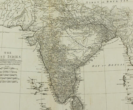
This historic paper map entitled ‘The East Indies including more particularly the British Dominions on the Continent of India’, by John Blair ; T. Kitchin, senr. sculpsit., was published by in 1773. It covers India, Sri Lanka, Bangladesh, Bhutan, Nepal, and portions of Maldives, Iran, Afghanistan, Pakistan, China, Burma, and Indonesia. The map shows features… Read more »