
Pristine views of the Ganga – World Environment Day 2023
The Ganga is one of the largest contributors to plastic pollution in the world’s oceans. But this wasn’t always the case

The Ganga is one of the largest contributors to plastic pollution in the world’s oceans. But this wasn’t always the case

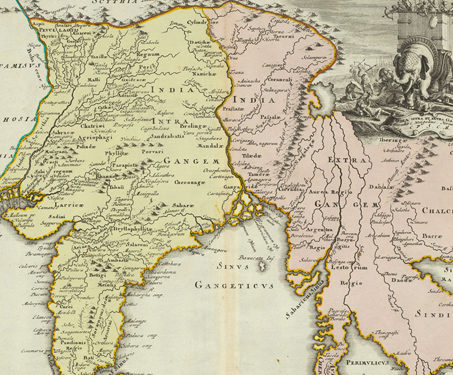
This map was produced by Christoph Weigel the Elder (1654-1725) in c. 1720 Many early cartographers did not travel to the sites they rendered on paper. As a result, early maps were a mix of reality and fiction reported by travellers and traders. Given that the Germans did not have active colonies in the Subcontinent… Read more »

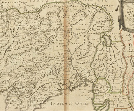
This map was made by Nicolas Sanson (1600 – 1667) in 1654 and published in 1697. In comparison to his Dutch contemporaries, Nicolas Sanson (born in Abbeville, France) is considered the pioneer of the French school of cartography, which revolutionised map-making based on precision, scientific and historical narratives. He produced more than 300 maps in… Read more »

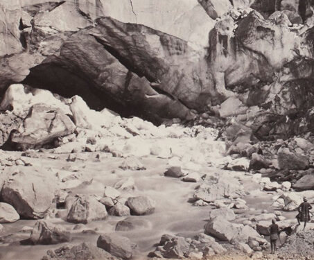
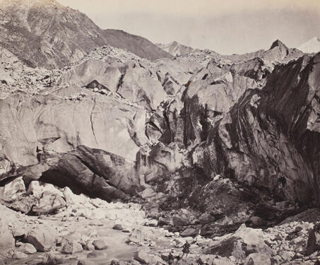
This photograph, taken by Samuel Bourne, is of the ice cave at the foot of the Gangotri glacier. The image shows two men at the foot of the glacier where the river emerges out of the ice cave, also called ‘Gomukh’. Recalling his reaction upon reaching the glacier, Bourne writes, “we reached our destination at… Read more »