Street View

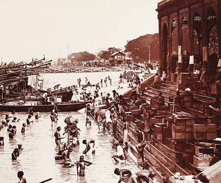
Armenian Ghat on the Hoogly River, Calcutta

This image shows the Armenian Ghat by the Hooghly River. It is said to have been built in 1734 by Manvel Hazaar Maliyan, an Armenian Trade merchant. The Armenians came to Bengal in the 16th century CE, during the Mughal rule, for commercial purposes and established a settlement much before the British East India Company… Read more »

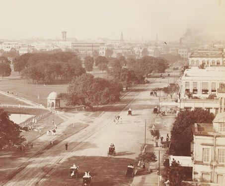
Chowringhee street, Calcutta

This view looks east from across the Maidan and the Chowringhee road with a clear landscape of the public buildings and private houses. Chowringhee Road was one of the Maidan’s major streets, and one of Calcutta’s broadest avenues. It was almost two miles in length and about eighty feet in width, with houses on one… Read more »

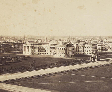
View of Government House, Calcutta

This view looks north-west from the Ochterlony Monument across the maidan towards the Government House and building along the Esplanade row. The image also captures other important buildings partly visible in the background, such as the General Post Office, the Writers’ Building, and St. John’s Church. In the 1760s, the establishing years of the East… Read more »

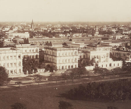
View of the Maidan, Calcutta

This picture shows the north side of the vast open space, known as the Maidan, in the centre of Calcutta, bordered by Chowringhee Road. The Maidan is surrounded by the city’s main public buildings, such as the Government House, on the far left behind the Ochterlony Monument, now called the Shahid Minar. Open spaces were… Read more »