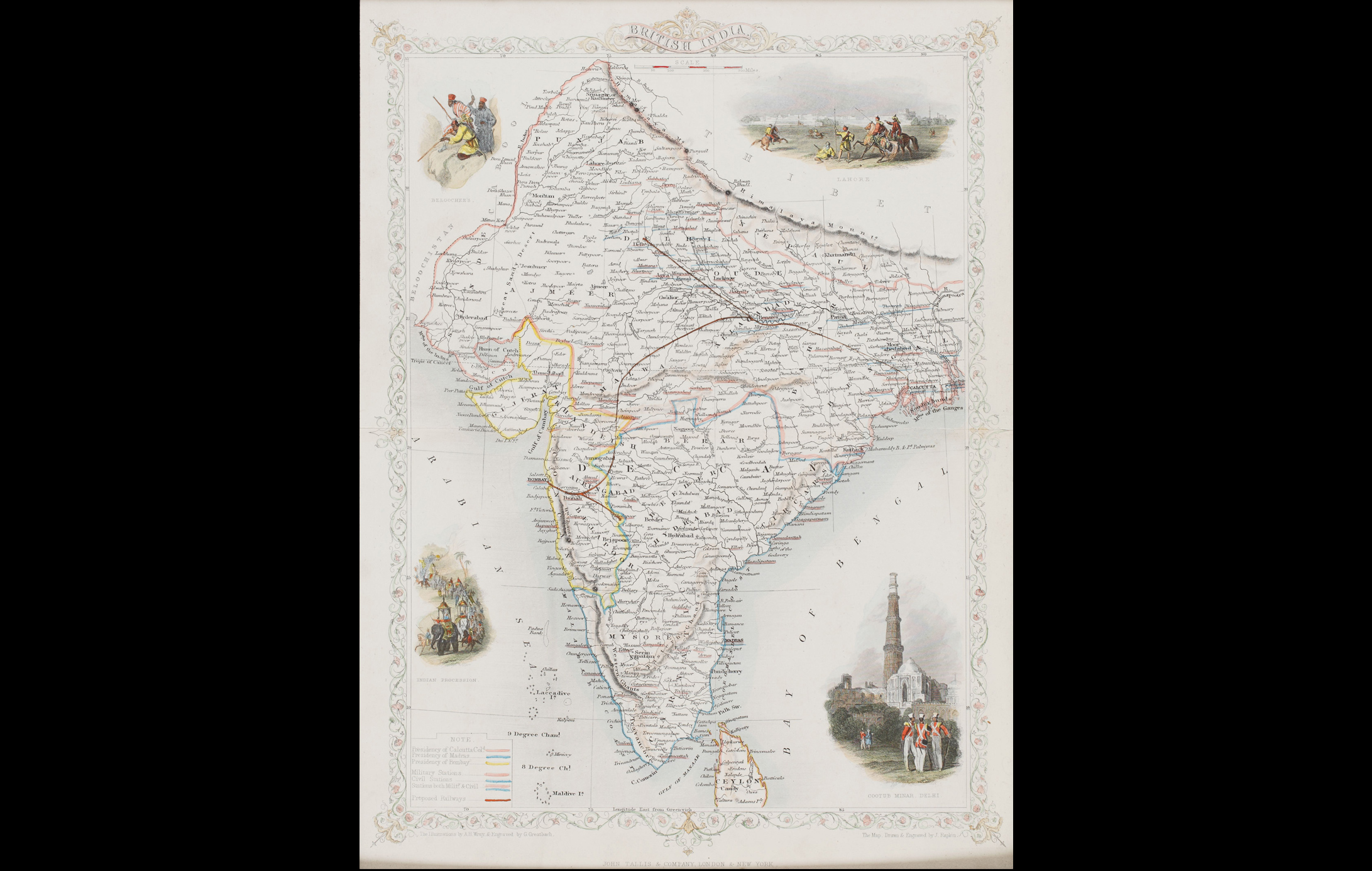
This is a decorative map of British India published in 1851 by John Tallis and Company, renowned for their intricate maps, prized for their decorative vignettes showing the people and landscape of the region.
In this map the Madras, Calcutta, and Bombay Presidencies are indicated, along with planned railway lines. While the first passenger train in India ran between Bori Bunder (Mumbai) and Thane in 1853, the ideas for an Indian Railway were originally made in Madras in 1832.
To read more on early maps, click here.
Title
British IndiaPeriod
1851Artist
J. RapkinEngraver
G. GreatbachPublisher
John Tallis and Company, LondonDimensions
H: 34.6 cm x W: 26 cmAccession No.
2017.14.15Genre: Cartography