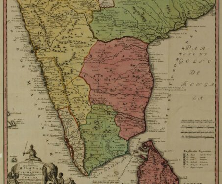

Indian maps, myths & travel legends
In conversation with professional geographer Dr Manosi Lahiri about the ways in which travellers have helped to draw the map of India

In conversation with professional geographer Dr Manosi Lahiri about the ways in which travellers have helped to draw the map of India
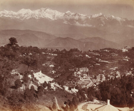
From the Himalayas to the Nilgiris, the mountain slopes of India are home to hill-stations. Built by the British, these were sanctuaries designed to get them through sickness and long summers
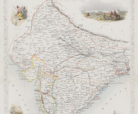
This is a decorative map of British India published in 1851 by John Tallis and Company, renowned for their intricate maps, prized for their decorative vignettes showing the people and landscape of the region. In this map the Madras, Calcutta, and Bombay Presidencies are indicated, along with planned railway lines. While the first passenger train… Read more »
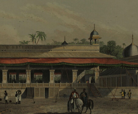
This hand-painted engraving by an unidentified artist shows a view of the Diwan-e Khas with a red, decorated canopy inside the Red Fort, Delhi. The Diwan-e Khas is a rectangular marble structure that was given the name Shah Mahal by the Mughal emperor Shahjahan (1592–1666) and embellished with gilded gems, inlay work, and floral patterns.… Read more »
This is the 1st Ed. No. LXXII, in the Second series of the Bombay in the Days of Queen Anne. As a official of the East India Service, John Brunell arrived to the subcontinent in the latter half of the 17th century. This book has an introduction by Samuel T. Sheppard and includes Brunell’s two… Read more »
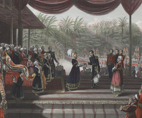
This coloured engraving shows an assemblage at the Travancore royal court with James Outram and his staff and Maharaja of Travancore, Uthram Thirunal Marthanda Varma (1814-1860). General James Outram was appointed as a political agent in Lucknow in 1854 and became the region’s first commissioner after the annexation of Oudh State. He was a British… Read more »
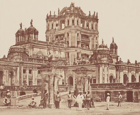
This photograph of La Martiniere, the oldest college in Lucknow, was taken by photographer Felice Beato (1832-1909) in 1858. General Claude Martine (1735–1800), a Frenchman, constructed La Martinere in 1795. It was intended to be a country home and was given the original name Constantia. The place was later converted into a college and served… Read more »
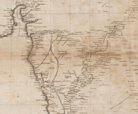
Historical Fragments of the Mogul Empire by Robert Orme (1728–1801) was Orme’s last publication. This edition of the book was published posthumously. In this, Orme describes the story of Mughal emperor Aurangzeb (1618–1707), and his efforts to conquer the Deccan. He focuses mainly on the expanding Maratha power under Chhatrapati Shivaji (1630-1680) and the onset of British… Read more »
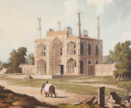
This is an early 19th century coloured aquatint illustrating the gateway of Mughal emperor Akbar‘s (1542-1605) tomb. It was published in ‘A Picturesque Tour Along the Rivers Ganges and Jumna in India’ by Charles Ramus Forrest (1750-1827). Forrest was an infantry officer in India from 1802 to 1827 and was an amateur artist. The drawings… Read more »
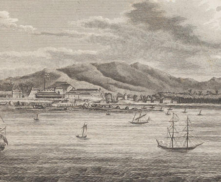
This is a view of Tellicherry on the coast of Malabar in the Kannur district. This view was originally illustrated by James Forbes (1749-1819) who arrived in Bombay as a 16-year-old in February 1766 and departed 17 years later after occupying several administrative posts with the East India Company. Only around the end of the… Read more »
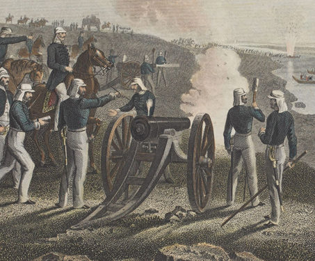
This engraving depicts the battle scene between the British troops led by Major Vincent Eyre and the Oudh (Oude) rebel forces in Allahabad (now, Prayagraj). The revolt of 1857 was a crucial point in India’s colonial history, marking the first widespread form of resistance to the rule of the British East India Company. It spread… Read more »
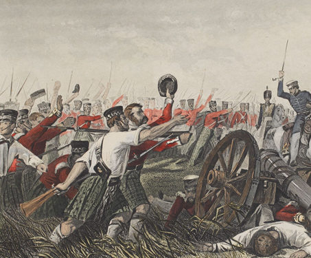
This engraving depicts the charge of the Highlanders’ 78th unit before the city of Cawnpore (now Kanpur) during the revolt of 1857. Cawnpore (now Kanpur) in Uttar Pradesh was an important fortified town for the East India Company’s forces. Kanpur was the site of a massacre on June 27, 1857, when the city’s besieged population,… Read more »
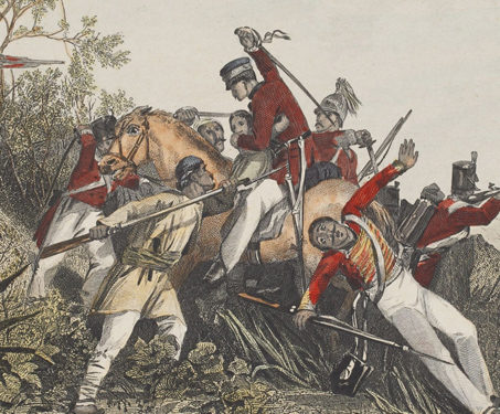
This engraving depicts British officers, a woman and a child facing the rebel soldiers while escaping during the revolt of 1857-58. The revolt of 1857 was a crucial moment in India’s colonial past and the first widespread and semi-structured form of rebellion against the rule of the British East India company. It was widespread across… Read more »
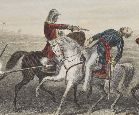
This engraving portrays a morbid scene depicting the shooting of Colonel John Platt of the 23 Regiment Bengal Native Infantry and Station Commander Mhow by the mutineers in 1857. Mhow in Madhya Pradesh was a critical battlefield during the Rebellion of 1857 in Central India. On July 1, 1857, the revolt reached Mhow, when numerous… Read more »
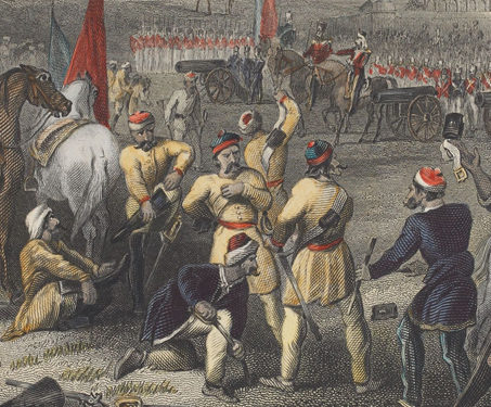
This engraving depicts scenes from the disarming of cavalry of soldiers by the British units at Berhampur in present-day West Bengal during the revolt of 1857. On the 27th of February 1857, Berhampur (now Berhampore) was one of the first places of sepoy insurrection in the British cantonments at Barrack Square, when the 19th Native… Read more »
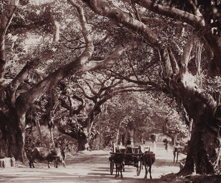
This photograph, from the late 19th century, is of the Mowbray Road in Madras (Chennai), Tamil Nadu. The long avenue lined with trees on either side got its name after a house built by George Moubray, the Moubray’s Cupola (presently, the Madras Club). George Moubray served the EIC (East India Company) and was the first… Read more »
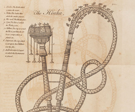
A voyage from England to India was published in the late 18th century and contains two large folding maps and 13 etched illustrations. It recollects Edward Ives’s (1719-1786) service in India with the British Army. Edward Ives was a surgeon on board the flagship Kent, commanded by Charles Watson (1714-1757). The travelogue chronicles Ives’ remarks… Read more »
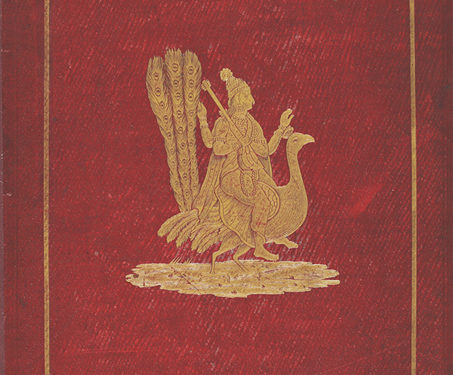
This mid 19th-century book by Fanny Parkes Parlby is an account that illustrates her independent travels in India. Fanny Parkes, born as Frances Susanna Archer in 1794, arrived in Calcutta from England in 1822 and eventually set out on solo explorations, sometimes on horseback or a boat, across India. She pieced together her account from… Read more »
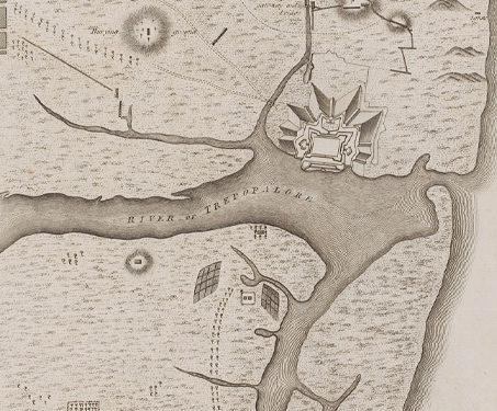
The Fort St. David in Cuddalore, Tamil Nadu, was originally a British headquarters for southern India, as seen on this map. It was attacked by the French forces led by Dupleix. The fort was renovated by the French in 1782, but then it was captured by the British in 1785. The map highlights the areas… Read more »
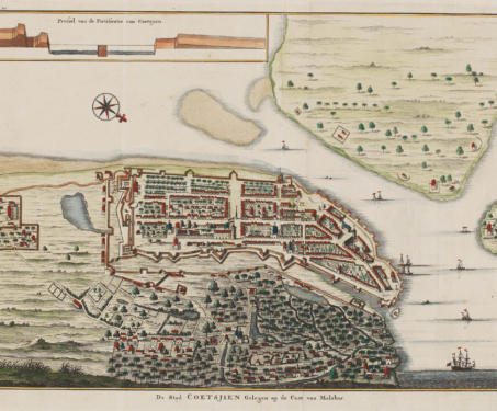
According to the prevailing view of cartography experts, maps can be categorised into two types: topographic or general maps, which might help you find your way around an area, and thematic maps, which serve to highlight specific features or a particular event, for eg, a battle plan. Regardless of their type, all maps tell a… Read more »