Throughout our modern history as a nation, India has seen the names of cities, rivers and even roads changed to reflect political realities, contemporary national narratives and the drawing of new borders. From Mysore State to Karnataka, from Bombay to Mumbai, from Allahabad to Prayagraj. Take our quiz to see how well you know some of these forgotten monikers that represent different eras of our past.
Results
Drop a pin, you have arrived at your destination—a high score!

Sorry about the score—but we hope you had fun taking this journey across a forgotten India with us!

#1. Which Indian city once went by the name of Pataliputra?
The modern city of Patna, the capital of Bihar, was also the seat of power in ancient India when it was known as Pataliputra. It was founded in the 5th Century BCE by Ajatashatru, ruler of the Magadh kingdom. Pataliputra, which likely got its name from the patala tree of the jacaranda family, continued to flourish under subsequent dynasties including the Mauryas, the Guptas and the Palas.
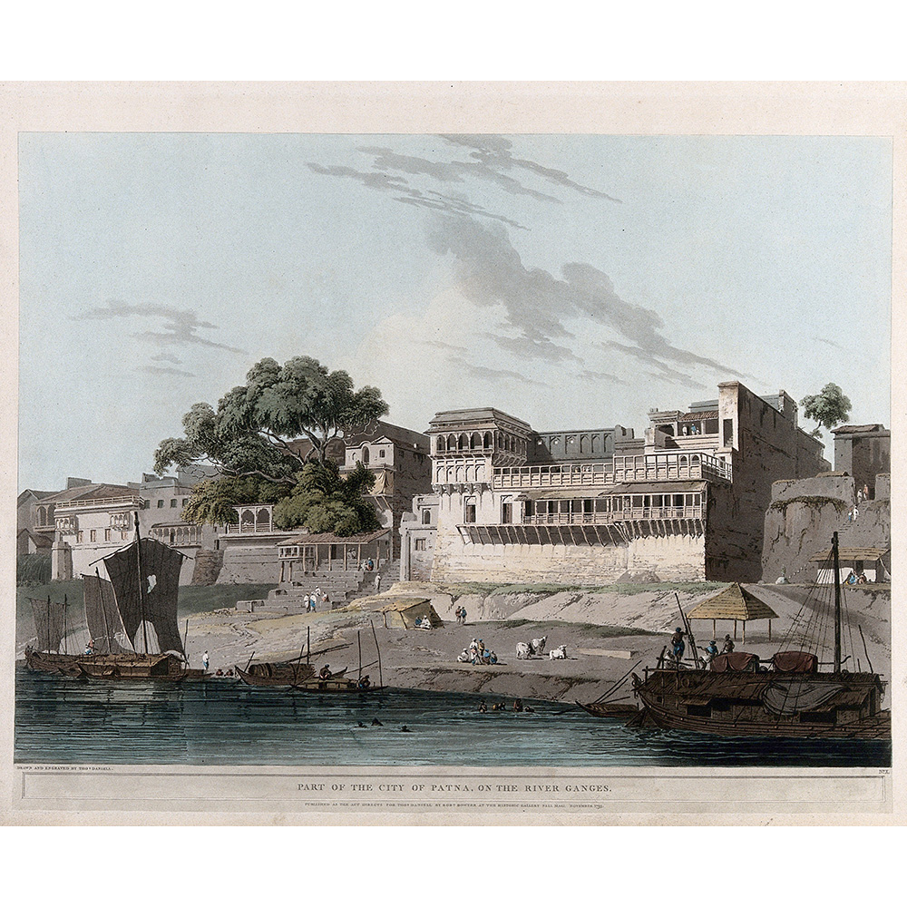
Image: Patna seen from the Ganges, Bihar. Coloured aquatint by Thomas Daniell, 1795. Contributors: Thomas Daniell. Work ID: jbvc7kbq., Wellcome Collection CC BY 4.0 DEED
#2. Delhi is referred to in ancient literature as:
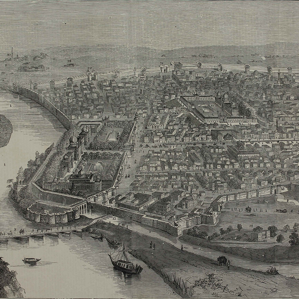
In the Mahabharata, Indraprastha (‘the city of Lord Indra’) is the kingdom of the five Pandava brothers—this is believed to be one of the earliest literary reference to the modern city of Delhi. Buddhist literature also mentions Indapatta, a city in this general region that was part of the Kuru state (1200 BCE – 500 BCE). As one of India’s oldest continuously inhabited cities, Delhi has had many names in the past. Hear more about ‘the forgotten cities of Delhi’ from scholar, author and translator Rana Safvi.
Image: ‘The City of Delhi Before the Siege’, 1858, Illustrated London News © Sarmaya Arts Foundation
#3. Kalindi is the ancient name of which Indian river:
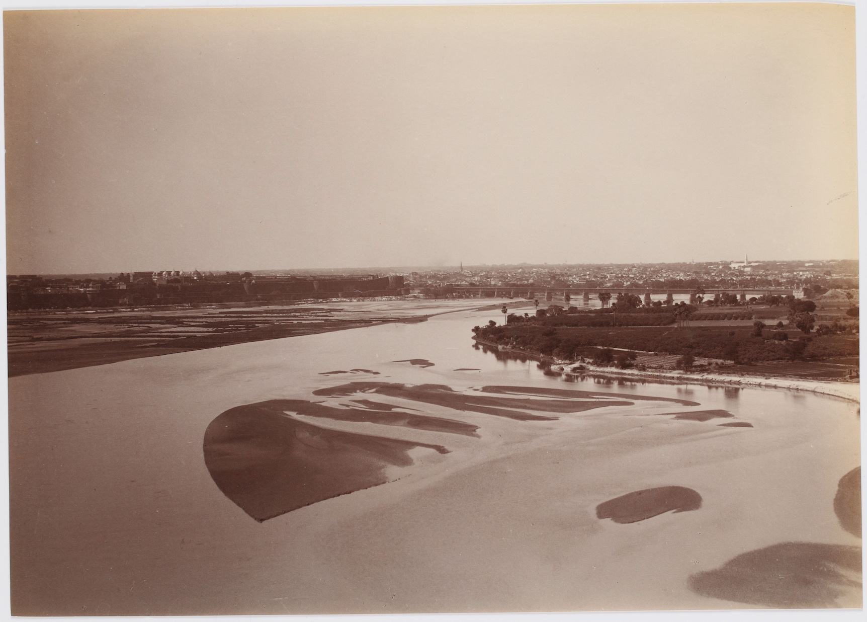
The river and its personification in Goddess Yamuna was referred to in the Puranas as Kalindi. The name, as the river, derives its origin from Mount Kalinda. Other legends suggest the name is inspired by the dark colour of the river’s churning waters, associating it with Goddess Kali and Lord Shiva.
Image: View of Agra along the Yamuna river, late 19th – early 20th century © Sarmaya Arts Foundation (2016.4.104)
#4. Which Indian state corresponds with the historical kingdom of Kamarupa?
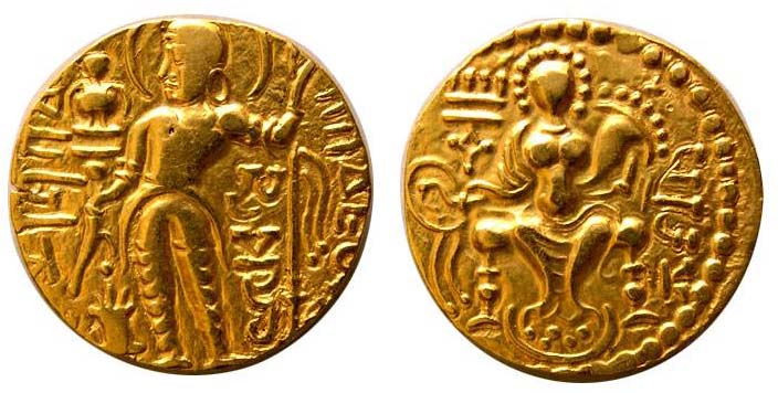
During the classical era of Indian history (320 to 550 CE), Kamarupa was a kingdom in the Brahmaputra valley that corresponds to present-day Assam. It was ruled by King Samudragupta in the 4th Century CE and at its peak, its borders folded in parts of Bengal, Bihar, Bhutan and Bangladesh. After the arrival of the Ahoms in the 13th Century and with their growing prominence in the region, the kingdom was renamed Assam.
Image: Gold Dinar, Samudragupta, Gupta Dynasty, 335–375 CE © Sarmaya Arts Foundation (2015.N.170.3)
#5. Which coastal temple town is also known as Srikshetram?
Odisha’s Puri, home to the Jagannath Temple, is also known as Srikshetram. In the Puranas, the town is referred to as Purushottama-kshetra or Purushottama-puri, meaning ‘home of the Creator’ aka Lord Jagannatha. In time, this was shortened to Puri.
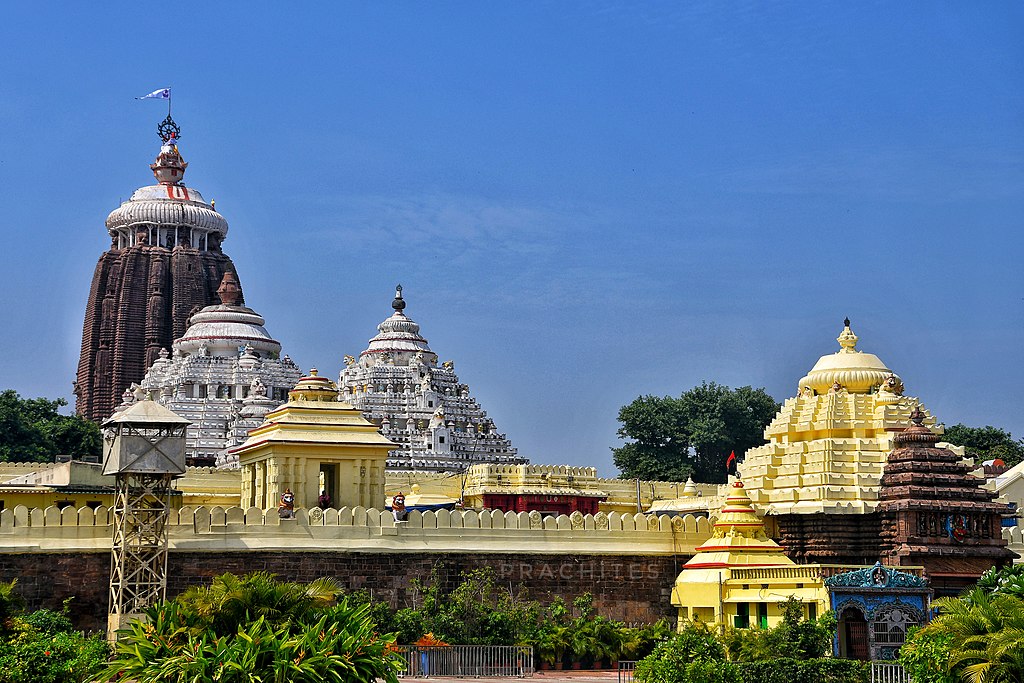
Puri Jagannath Temple, Subham9423, CC BY-SA 4.0, via Wikimedia Commons
#6. Udhagamandalam is the indigenous name of which hill-station in India:
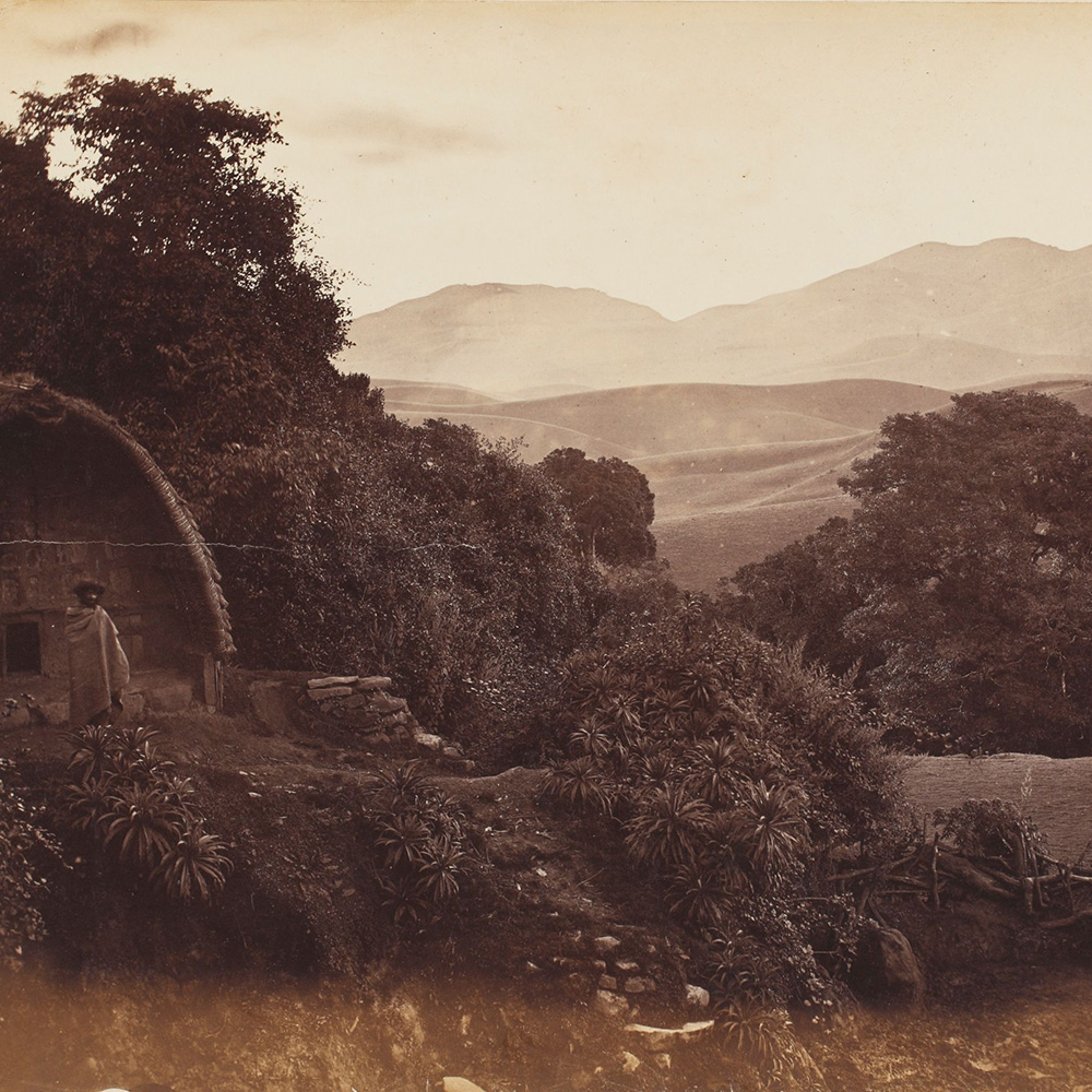
Ootacamund aka Ooty is an anglicisation of Udhagamandalam, derived from the Toda words ‘othaka mund’, ie ‘home on the hill’. The Todas are the indigenous people of the Nilgiris. They are the custodians of artistic traditions, like pukhoor embroidery and the Toda munds or villages. A traditional mund is a collection of thatched homes, made from bamboo and cane.
Image: Toda mund, Ootacamund (Ooty), 19th century, attributed to John P Nicholas, albumen print mounted on paper © Sarmaya Arts Foundation. (2019.24.1 (20))
#7. During British rule in India, this port city also went by the name of Waltair:
This is a tricky one because the neighbourhood of Waltair still exists within the precincts of the larger port city of Vishakhapatnam or Vizag. But during the British era, Waltair referred to the larger region; the first railway station here was named Waltair Station. Some believe ‘Waltair’ derives from a combination of the Telugu words ‘valu’ (slope) and ‘eru’ (stream) because of its hilly terrain. Others think the city might have been named after a British officer stationed to this harbour in the 19th Century.
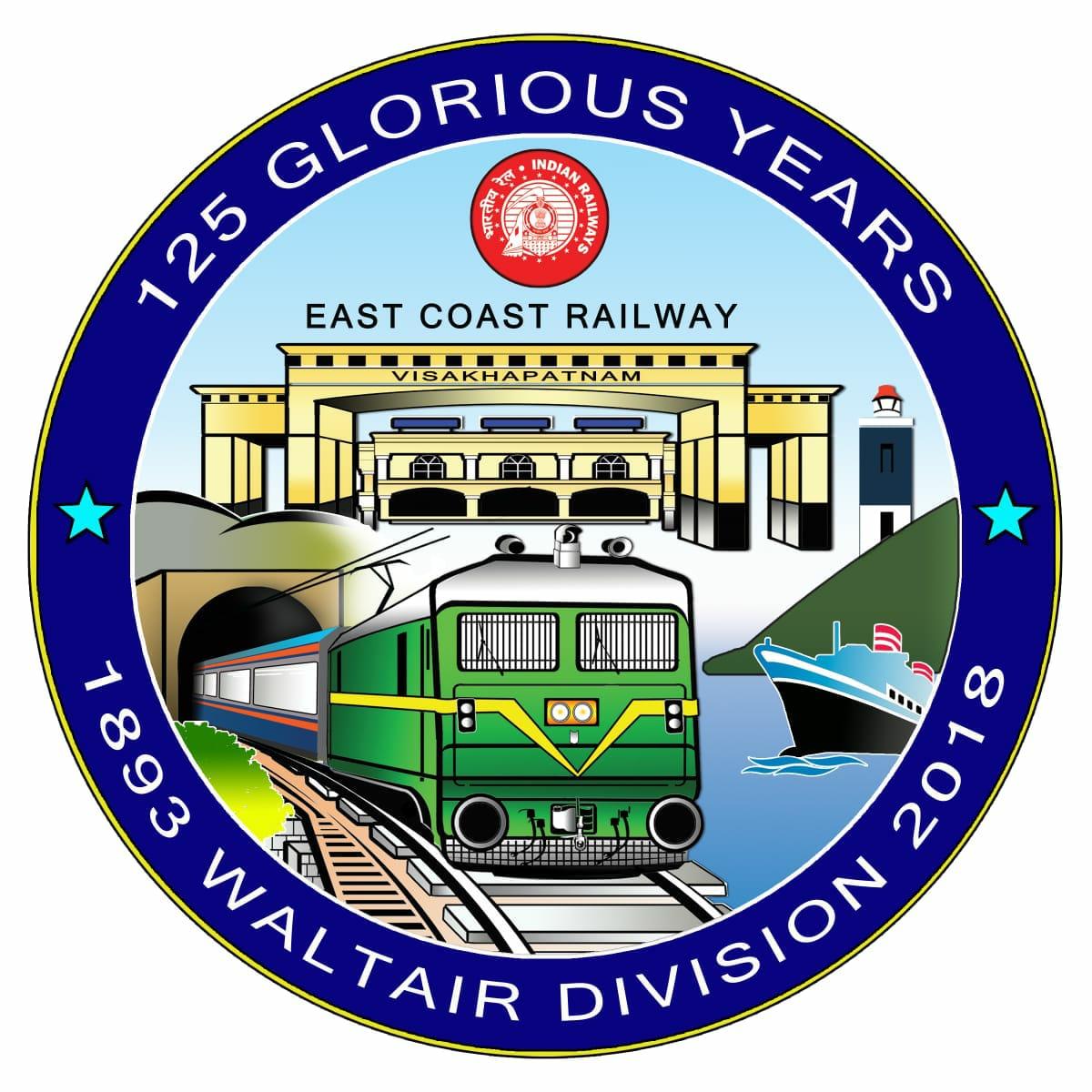
Image: Emblem commemorating 125 years of the Waltair Division of the East Coast Railway of India, public domain
#8. Popular Mumbai suburbs like Bandra and Andheri were once part of an island that went by the name of:
Salsette Island referred to a collection of smaller islands north of the original seven that made up the old Bombay. Salsette Island is home to the ancient Kanheri Cave complex. Under the Shilahara dynasty (8th to 13th centuries CE), this was a culturally and commercially rich seat of power. During the land reclamation drive of the 19th and 20th centuries, Salsette Island was linked to and swallowed up by the growing metropolis of Mumbai.
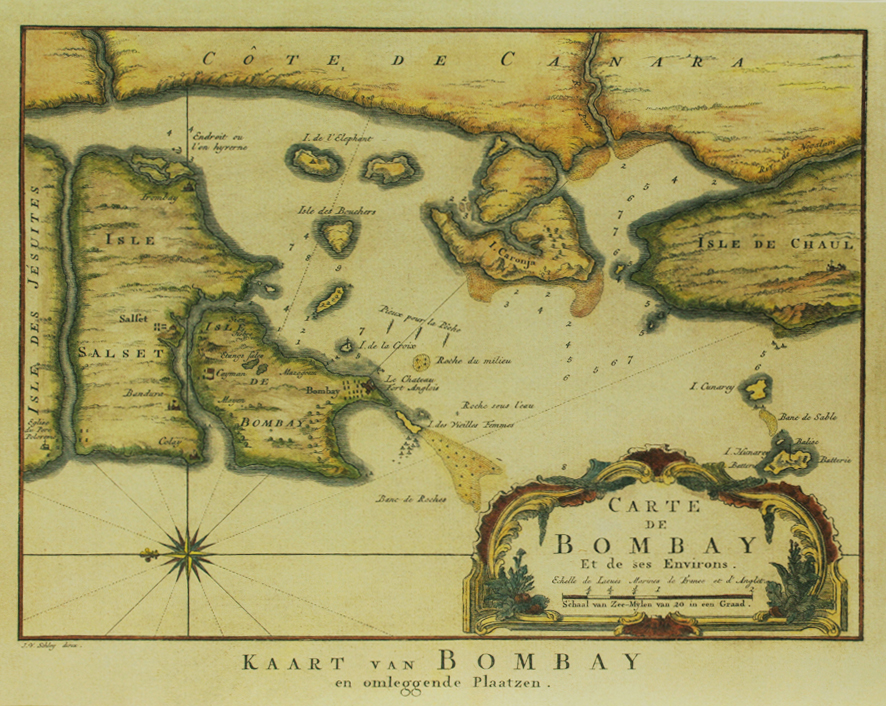
Image: Map of Bombay, and surrounding places, reprint of the original map (c.1745) engraved by Jean Nichola Bellin for ‘Histoire Generale des Voyages’ © Sarmaya Arts Foundation (2015.4.47)
#9. When you spot ‘Quilon’ on a British era map, which Indian state are you looking at?
Quilon is a corruption of Kollam, one of the oldest port cities of the Malabar coast in Kerala. Its name is believed to be derived from the Malayalam/Sanskrit word ‘kolam’ meaning ‘black pepper’. Other names for this ancient maritime hub are Elancon, Coulão (Portuguese), Desinganadu (Tamil), Kaulam Mall (Arabic) and Nelcynda (ancient Greek).
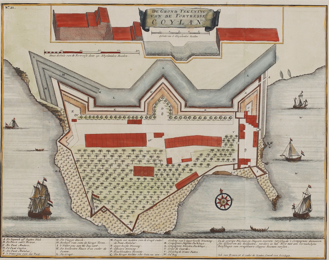
Image: A bird’s-eye plan of the fort at Kollam on the Malabar Coast, Francois Valentyn, 1724 © Sarmaya Arts Foundation 2017.14.2
#10. European travellers called this place Laccadive—which busy hub of trade were they referring to?
Laccadive is the anglicisation of Lakshadweep, ie ‘one lakh islands’. Before 1973, this collection of 36 isles was called Laccadive, Minicoy and Amindivi Islands. As it was located along the ancient maritime trade routes in the Gulf of Mannar, there are many references to Lakshadweep in literature. Jointly with the islands of Maldives, it was referred to as ‘Liu-shan’ in Chinese texts and as Dvipalaksham in Pallava inscriptions.
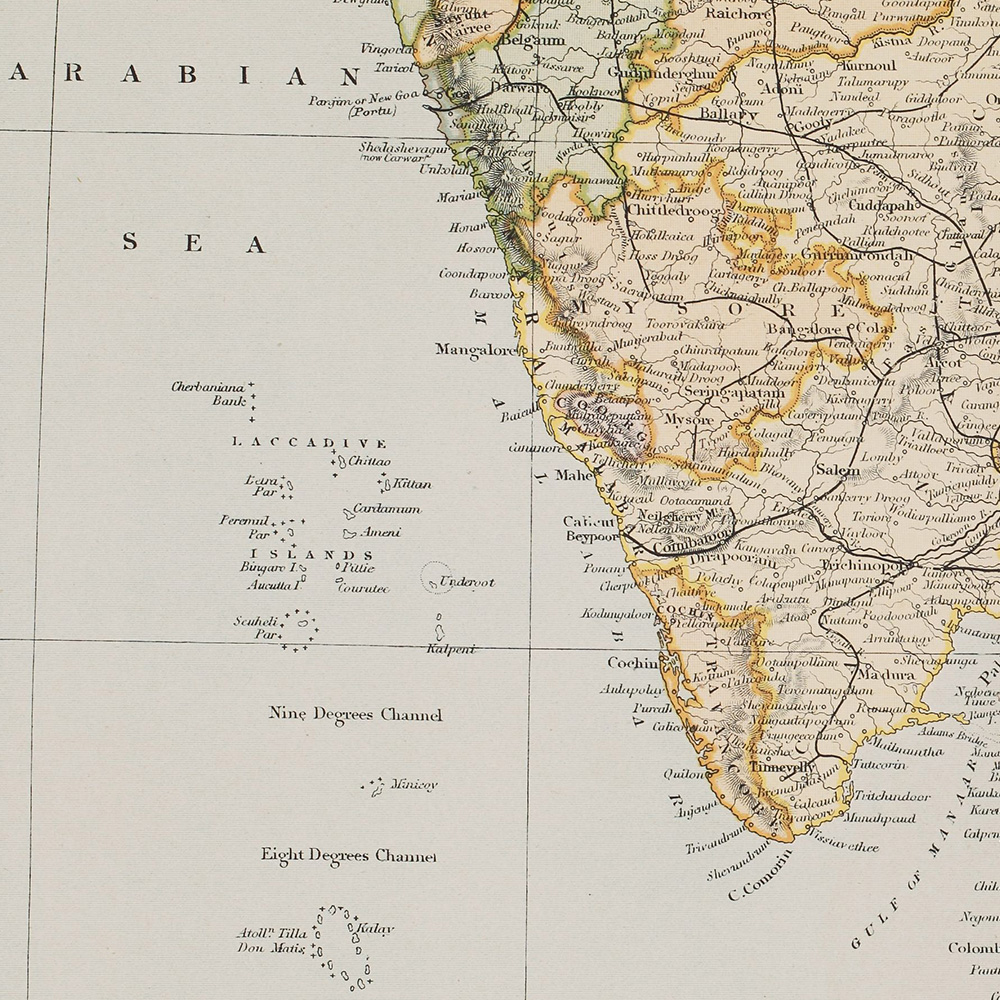
Image: From ‘British India’, A H Wray (artist), G Greatbach (engraver), John Tallis & Company, London and New York (publisher) © Sarmaya Arts Foundation 2017.14.15


