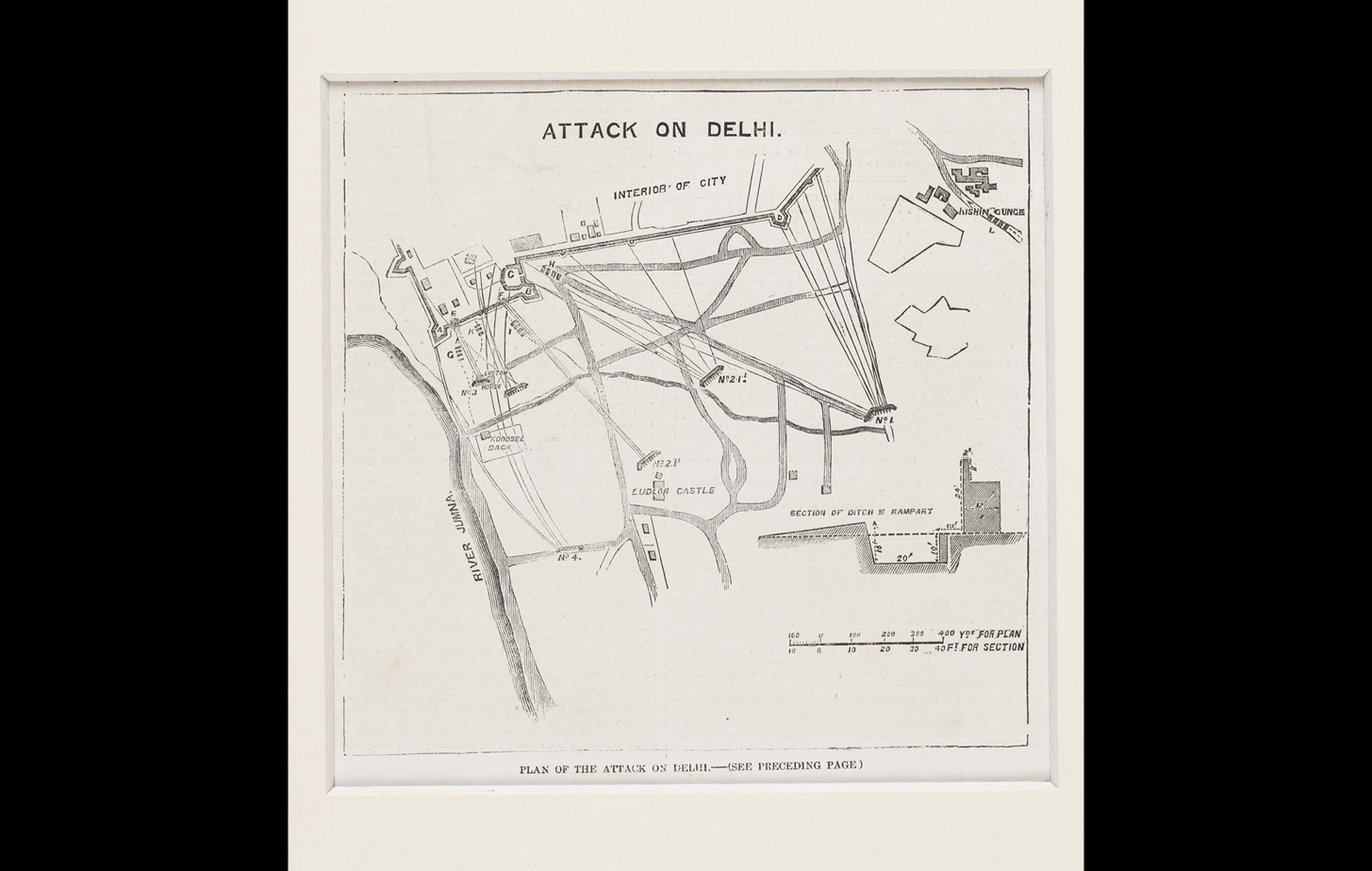
This is a print of the map showing the plan of the British attack on the city of Delhi, during the Uprising of 1857. Various clusters of directional lines with coordinates mark areas where the British troupes advanced. Landmarks such as the Landlow Castle and the ‘rampart’ hint that the advance is from the Ridge area where the British had set up their camp during the Uprising, towards the walled city of Shahjahanabad.
Title
Plan of the Attack on DelhiPeriod
1857Medium
Monochrome Print on PaperDimensions
(without mount): 14.8 cm x 15 cm; (with mount): 25.2 cm x 30.4 cmAccession No.
2017.10.8Genre: Cartography