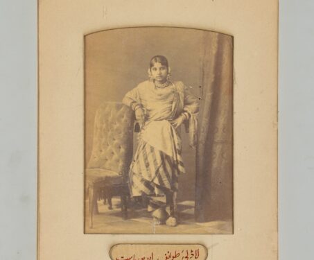

Eggs, salt & the delicious decades of albumen print photos
How albumen, a sticky substance found in egg whites, took the elite European hobby of photography and turned into a global phenomenon

How albumen, a sticky substance found in egg whites, took the elite European hobby of photography and turned into a global phenomenon
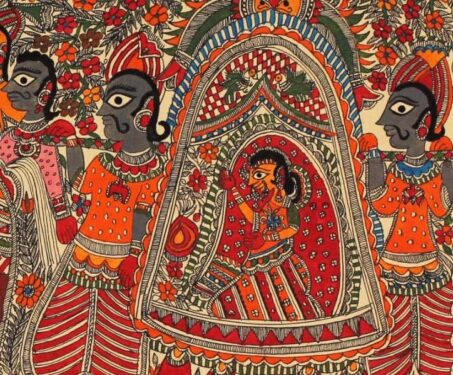
Let’s tackle some FAQs to better appreciate this fascinating, historical mode of travel and the people who made it possible.
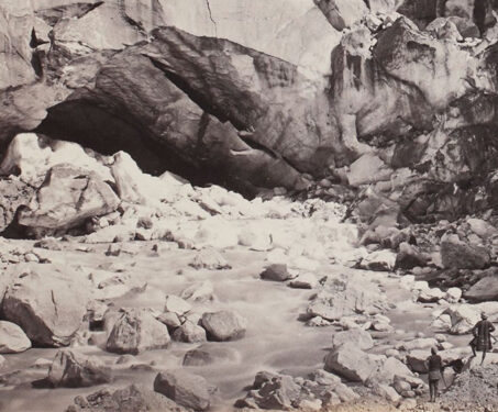
The Ganga is one of the largest contributors to plastic pollution in the world’s oceans. But this wasn’t always the case
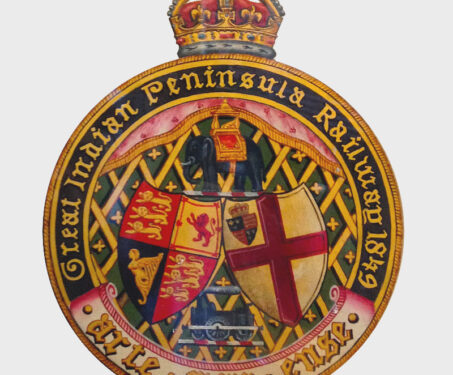
From its start in the 19th Century, Indian Railways played a pivotal role in the trade, economy and culture of the Subcontinent. But how did the arrival of trains impact our country’s ecology?
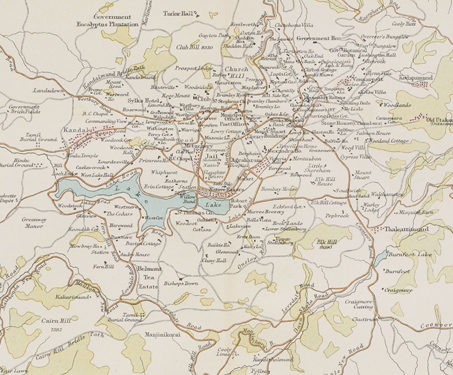
This map presenting the plan and surroundings of Ootacamund (Ooty) was published in the Constable’s Hand Atlas of India by John Bartholomew & Co. Located in Tamil Nadu at an altitude of 2,240 mt above sea level, Ootacamund (Ooty) flourishes in the Nilgiri hills. Because of its cooler climate, Ooty, was considered an oasis by… Read more »
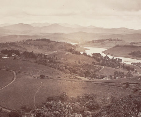
This view of the Ootacamund in Tamil Nadu was taken by Samuel Bourne (1834-1912) in 1869. The Madras government’s headquarters were relocated to Ootacamund from April to October during colonial rule, making it the summer capital after the 1870s. Because of its cooler climate, Ooty, positioned above the Indian plains, was considered an oasis by… Read more »
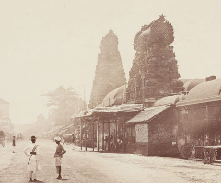
This photograph, by Samuel Bourne (c.1834 – 1912), is of a street in Thanjavur (formerly Tanjore) from the late 19th century. Since ancient times, Thanjavur, located on the Kaveri Delta, has seen several historical dynasties and rulers from the Cholas, Vijayanagara rulers, Nayakas, Marathas and the British. The name is derived from Tamil, where tanjam, which means “refuge,”… Read more »
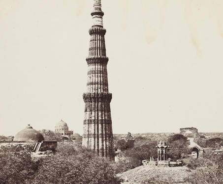
Pictured here is the 239-foot Qutub Minar, the highest brick minaret in the world. Construction on this iconic tower of victory was begun by Qutb-ud-Din Aibak (r.1206-1210), the first Sultan of Delhi and founder of the Slave Dynasty, and later continued by Shams-ud-Din Iltutmish (r.1211-1236). Accompanying the adjacent Quwwat-ul-Islam Masjid, the minaret rises in five… Read more »
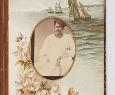
The invention of Carte de Visites and Cabinet Cards made photography affordable and accessible to the masses—and this changed the very nature of the beast. Through Sarmaya’s priceless collection, we present a history of portable portraits
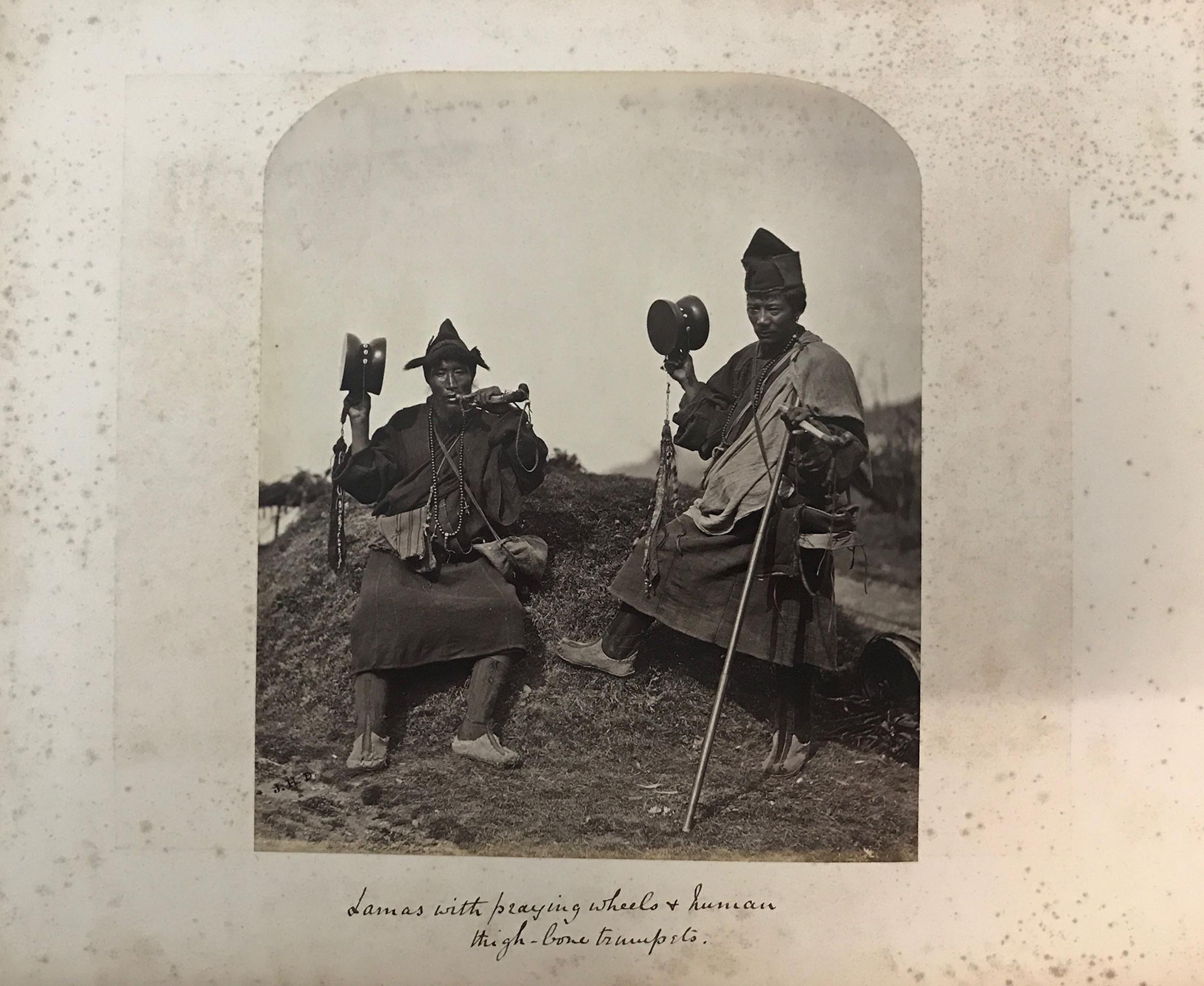
This album, published in 1881, consists of an extensive collection of 19th century photographs from across India, including views of Delhi, Bombay, Darjeeling, the Himalayas and Ceylon. The photographs are attributed to Samuel Bourne.
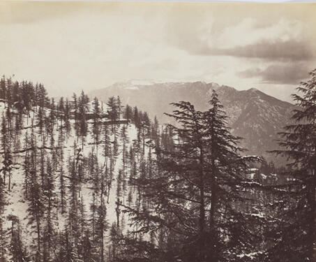
This photograph shows a view of Shimla during the winters from an elevated platform overlooking a snow-clad mountainous landscape covered with pine trees. Shimla, the current capital of Himachal Pradesh, was regarded as a favoured resort with the British residents in the nineteenth and the early twentieth century. It was known as the ‘English Convalescent… Read more »
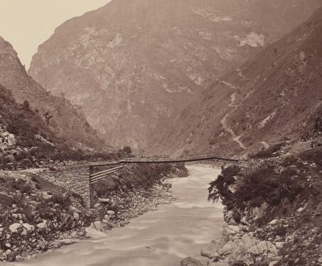
This photograph of a footbridge over a stream flowing between a valley was captured at Larji in the Kullu district by Samuel Bourne. In 1866, Samuel Bourne proposed to trek the, “rich valley of the Beas river through Kulu, penetrate into the wild and desolate regions of Spiti as far as the borders of Tibet,… Read more »
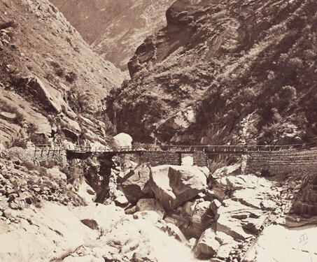
Samuel Bourne took this photograph of a bridge over the Wanga and the Sutlej river junction during his first expedition in the Himalayas in 1863. In the summer of 1863, on the 29th of July, Bourne set off from Shimla for his ten weeks journey into the Himalayas. This was his very first Himalayan expedition.… Read more »
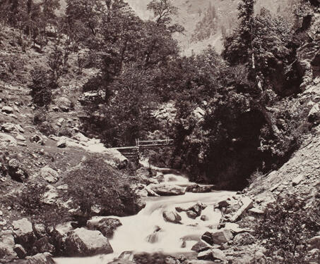
This photograph of a river and a snow-clad mountain range in the background near Budrawar, a town four days from Chamba, was taken by Samuel Bourne. Bourne halted here for a day during his second major expedition to Kashmir and adjacent districts in 1864. Reflecting on his encounters with the residents of Budrawar, he wrote… Read more »
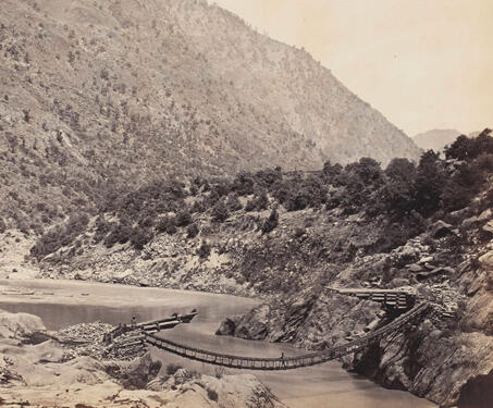
This photograph of a bridge over the Chenab river near Kishtwar, located in the present-day Jammu and Kashmir state, was taken by Samuel Bourne. Sharing his impression of the bridge in the British Journal of Photography, Bourne informed, “I soon found myself again at the Chenab, but this time only to cross it by a… Read more »
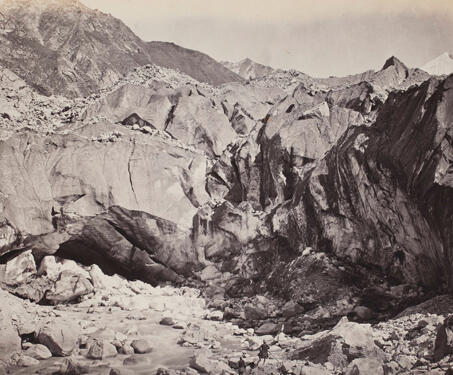
This photograph, taken by Samuel Bourne, is of the ice cave at the foot of the Gangotri glacier. The image shows two men at the foot of the glacier where the river emerges out of the ice cave, also called ‘Gomukh’. Recalling his reaction upon reaching the glacier, Bourne writes, “we reached our destination at… Read more »
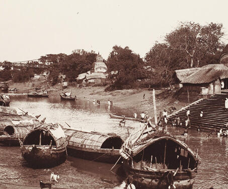
The Kalighat area first finds its mention in the 15th century Bengali text, Manasā-Vijaya, written by poet Bipradas Pipilai. It is also mentioned in a 16th century literary work Chandimangala by Mukundaram Chakrabarti. Kalighat was also established as a pilgrimage centre after legend placed a fragment of Sati’s body here, near the Ganges and since… Read more »
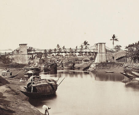
This is an image of a bridge over Tolly Nullah at Kalighat in Calcutta by Samuel Bourne. Warren Hastings, the Governor General of India from 1773 – 1785, had acquired permission in 1763 to build a suspension bridge over Tolly Nullah which was to connect Kalighat to his garden house in Alipore. It was later… Read more »
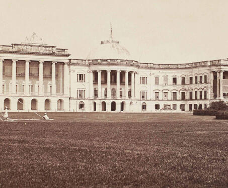
This is a photograph shows the Government House in Calcutta which became the Raj Bhavan of West Bengal after Independence. The Government House was built between 1799 and 1803 as the official residence of the Governor of Fort William, the 1st Marquess Wellesley, and remained the residence of the British Governors-General till 1911. The building’s… Read more »
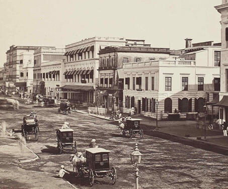
This is a photo of the Old Court House Street in Calcutta. This street lies on the eastern side of the Dalhousie Square and in this view you can see St. Andrew’s Church on the north corner of Old Court House Street and Lal Bazaar Street. This photograph is taken by Samuel Bourne in the… Read more »